Driefontein
Phase: Operations
Mine Type: Underground
Tags: conglomerate palaeo-placer reef
Driefontein is located in the West Wits Line of the Witwatersrand Basin, near Carletonville, approximately 70km west of Johannesburg in the Gauteng province of South Africa.
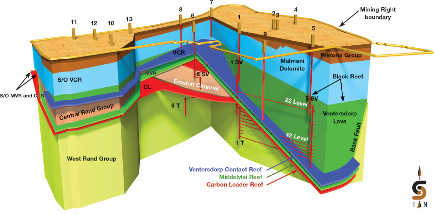
Topography is characterised by moderately undulating plains, classified as Bankenveld, consisting of grassland with livestock farming widespread in the surrounding areas. Driefontein is a large, established, shallow to ultra-deep-level gold mine The current mine infrastructure consists of six producing shaft complexes that mine open ground and pillars (white areas) with the deepest operating level currently some 3,420m below surface (50 Level at 5 Shaft) and three gold processing plants. The principal mining takes place on the Carbon Leader Reef (CLR), which constitutes almost 62% of the Mineral Reserves, the VCR 32%, the Middlevlei Reef (MVR) 6% and the remainder from surface sources.
History:
Driefontein started production in 1952 and has historically produced more than 108Moz of gold.
Deposit geology:
The palaeo-placer originated from a braided stream environment. The deposition was structurally controlled along a basinal edge.
Schematic 3D view through the Driefontein ore body looking north:
Rocks specimens:
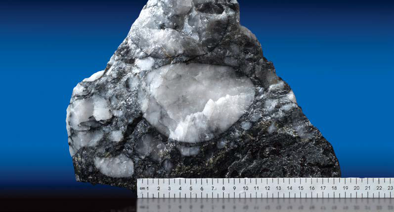
Ventersdorp Contact Reef specimen
Mineralization:
Auriferous and uraniferous palaeo-placer conglomerates, that are locally termed reefs. Laterally continuous with relatively long-range predictability. Clear patterns of mineralisation governed by sedimentary characteristics.
Ore specimens:
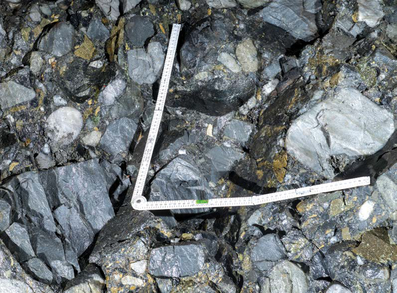
Ventersdorp Contact Reef D-facies
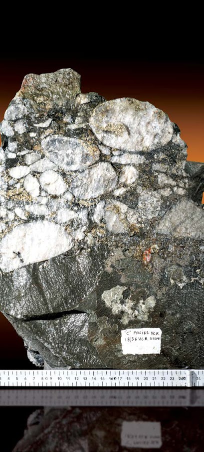
Ventersdorp Contact Reef C-Facies specimen
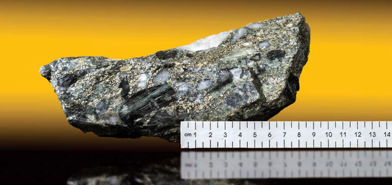
Highly mineralised Ventersdorp Contact Reef sample with buckshot pyrite
Source:
-
Mineral Resources and Mineral Reserves Report Sibanye-Stillwater
(31.12.2017, None)
Authors: